Georgia's coastal creeks and rivers consist primarily of mud and sand bottoms. With the current velocities produced by daily tides ranging from 6 to 9 feet, this type of substrate often gives way to erosion creating a steep drop-off at the foot of many boat ramps. In addition, many people use their boat engines to push or load their boats onto their trailer. During low tide, such boat loading practices often accelerate erosion at the foot of boat ramps. Therefore, boaters should take caution when launching boats during low tide periods to be sure that the ramp surface extends our far enough to safely back trailers.
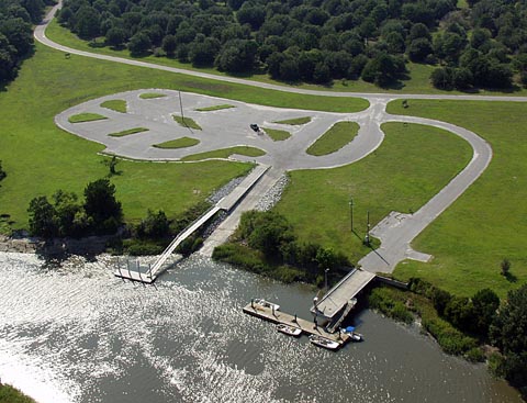
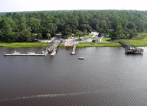
Below is a list of Boating Access Points
Northern Coast
- Demeries Creek Boat Ramp
- Red Bird Creek Ramp (Ft. McAllister)
- Bell's Landing Boat Ramp
- Ogeechee River Ramp (Ft. McAllister)
- Houlihan Boat Ramp Park
- Lazaretto Creek Boat Ramp
- Salt Creek Park Boat Ramp
- Skidaway Narrows Boat Ramp
- Spencer Park Boat Ramp
- Thunderbolt Boat Ramp
- Tybee Island Boat Ramp
- Turner Creek Boat Ramp
- Richmond Hill Wildlife Management Area
Central Coast
- Liberty County Regional Park
- Sunbury Boat Ramp
- Barbour River Landing
- Bellville Boat Ramp
- Blue-N-Hall Boat Ramp
- Champney River Boat Ramp
- Darien City Boat Ramp
- Harris Neck Creek (Refuge) Boat Ramp
- White Chimney Creek Boat Ramp
- South Newport River Boat Ramp
Southern Coast
- Blythe Island Beach Drive Ramps
- Jekyll Island Boat Ramp
- Blythe Island Regional Park Boat Ramp
- MacKay River Boat Ramp
- South Brunswick River Ramp (Ga Hwy 303)
- Turtle River Ramp (Ga Hwy 303)
- Village Creek (Harrington) Boat Ramp
- Harriet's Bluff Boat Ramp
- Little Satilla River (Spring Bluff) Ramp
- St. Marys City Boat Ramp
- Satilla River Woodbine Water Front
- St. Marys River Boat Ramp (U.S. Hwy 17)
- White Oak Creek Boat Ramp
- Crooked River State Park Boat Ramp
- North River Boat Ramp


