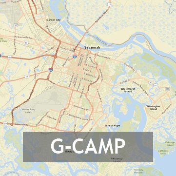
Georgia Coastal and Marine Planner (G-CAMP)
A suite of interactive mapping tools and resources designed to aid state regulators and planners in their decision-making processes of how to allocate property off the coast of Georgia to potential developers. Users can employ in-depth data layers and tools to visualize the uses, regulations, and state and federal protections associated with areas of the Georgia coast. GCAMP was created by Georgia Tech's Center for GIS and the Strategic Energy Institute for the Georgia Department of Natural Resources Coastal Management Program with funding provided by the National Oceanic and Atmospheric Administration (NOAA). Click here to access G-CAMP or click the button below.
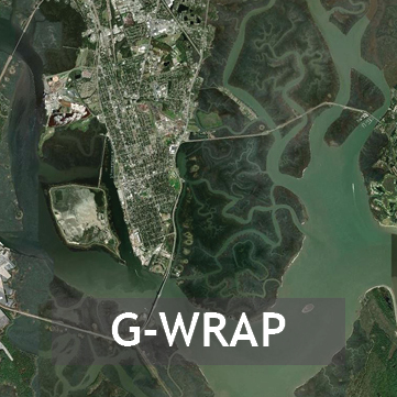
Georgia Wetlands Restoration Access Portal (G-WRAP)
A geospatial gateway to interactive wetlands maps, data, and resources for coastal Georgia. Through funding made available by the Environmental Protection Agency, G-WRAP was created by the Georgia Tech’s Center for GIS for Georgia's Department of Natural Resources. Many of the data layers found on G-WRAP were created by the University of Georgia's Skidaway Institute of Oceanography. Click here to access G-WRAP or click the button below.
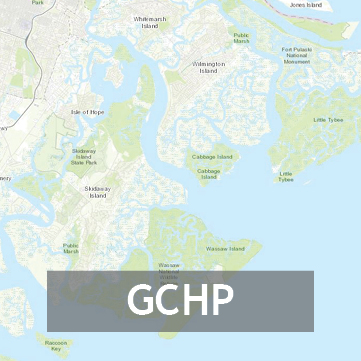
Georgia Coastal Hazards Portal (GCHP)
A web-based interactive tool to provide a better understanding of coastal resources and coastal hazards. This portal was created through a partnership between the Skidaway Institute of Oceanography (SKIO) and Savannah Area GIS (SAGIS) with funding provided by the Georgia Coastal Zone Management Program and the National Oceanic and Atmospheric Administration. Click here to access GCHP or click the button below.


