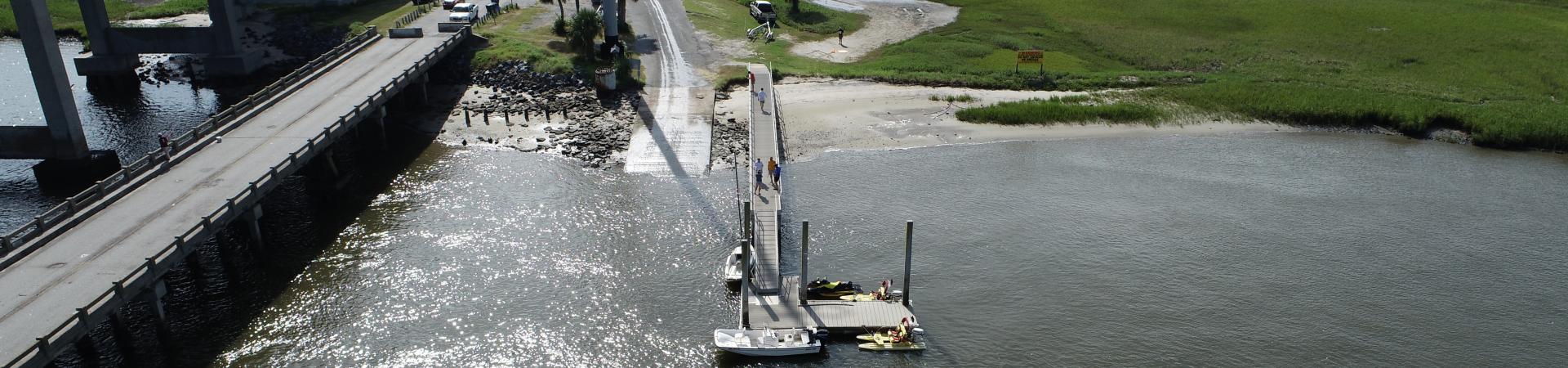
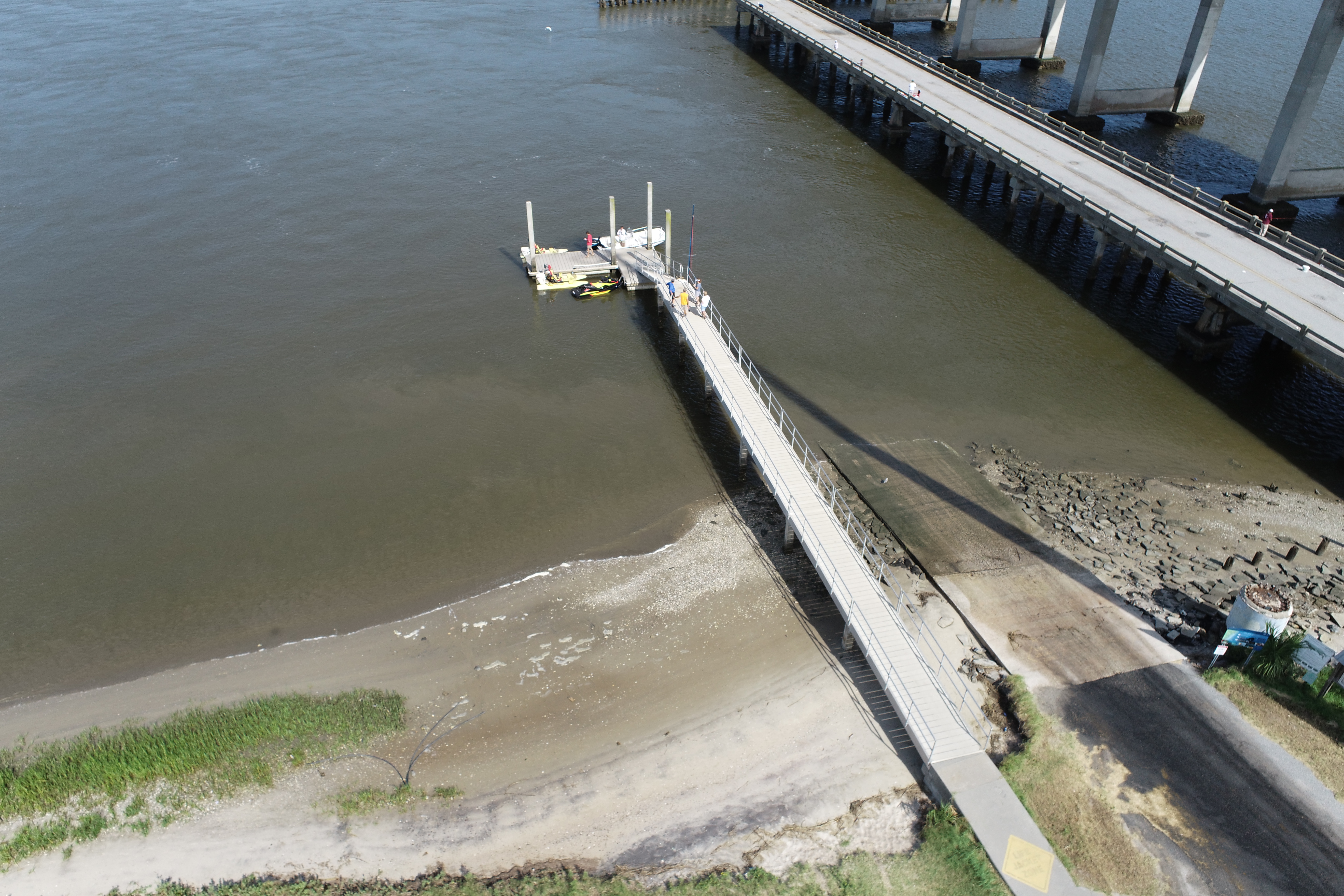
Driving Directions
Take Exit 38 south on Spur 25 (North Golden Isles Expressway) 4.3 miles to U.S. HWY 17. Turn right 1.7 miles to the Torras Causeway leading to St. Simons Island. Turn left (east) 3.7 miles and drive across the MacKay River Bridge. Boat ramp entrance located approximately 0.3 miles past the MacKay River Bridge on right side of Causeway. Turn right (U-turn) onto side road and drive back toward bridge. (One double-lane ramp).
Features:
- Paved Ramp
- Parking Paved
- Courtesy Dock
Georgia Outdoor Map
The Georgia Outdoor Map is an online interactive map with all of the Department of Natural Resources owned or managed resources. Think of this as a "one-stop shop" for planning your next trip to a DNR location.


