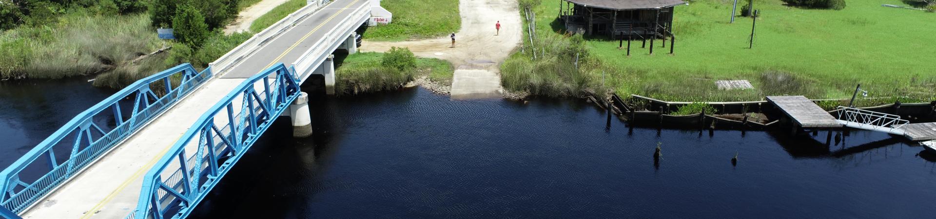
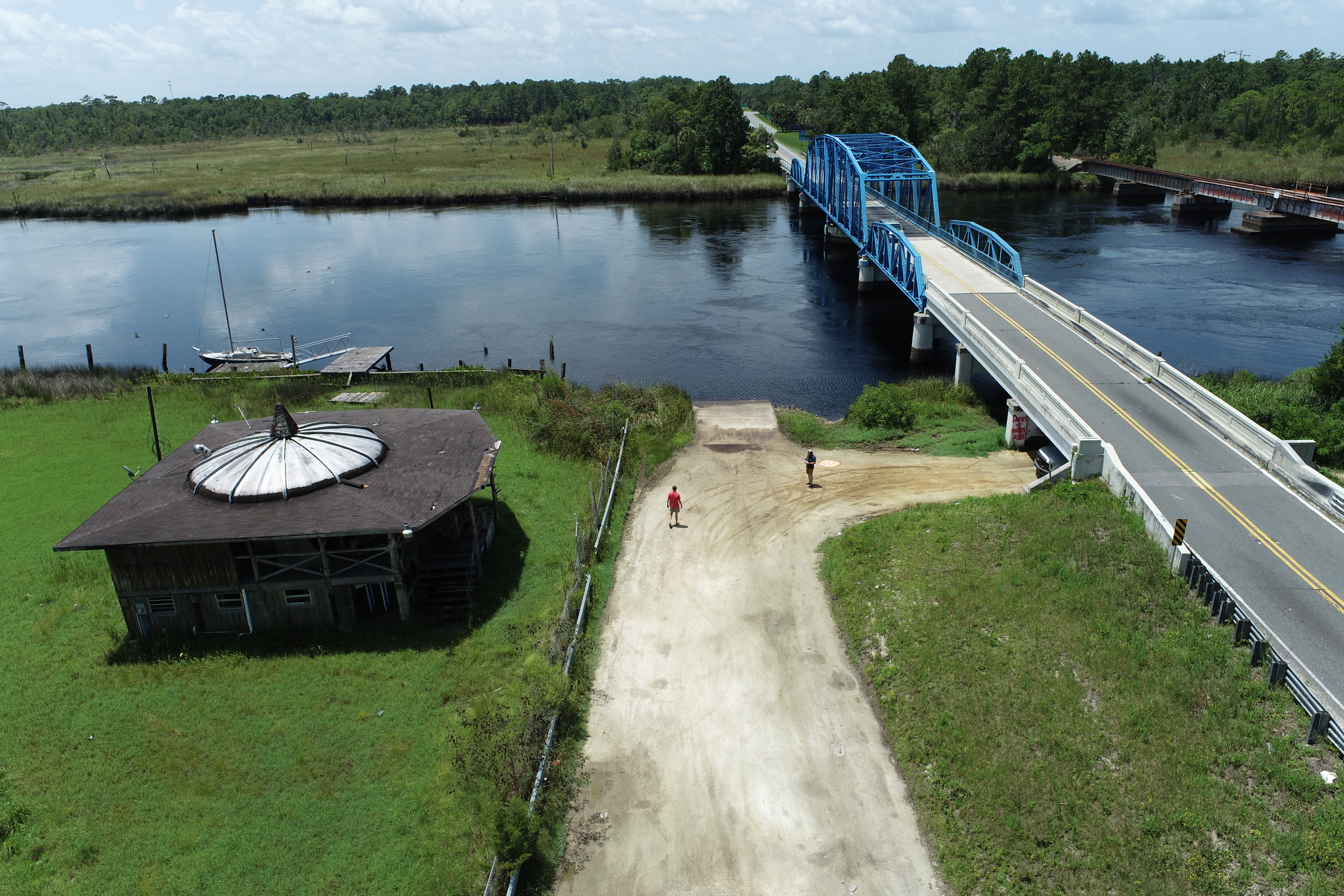
This ramp is also known as the Blue Bridge Boat Ramp
Driving Directions
Take Exit 3 west on GA HWY 40 for 1.8 miles to U.S. HWY 17. Turn left (south) 3.9 miles to the St. Marys River Bridge. Ramp located on left side of highway before crossing bridge. (One single ramp)
Features:
- Paved Ramp
- Parking Dirt-Gravel
Georgia Outdoor Map
The Georgia Outdoor Map is an online interactive map with all of the Department of Natural Resources owned or managed resources. Think of this as a "one-stop shop" for planning your next trip to a DNR location.


