Driving Directions
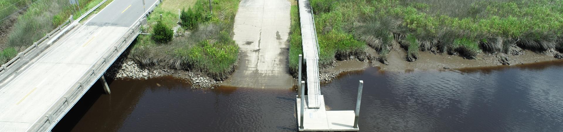
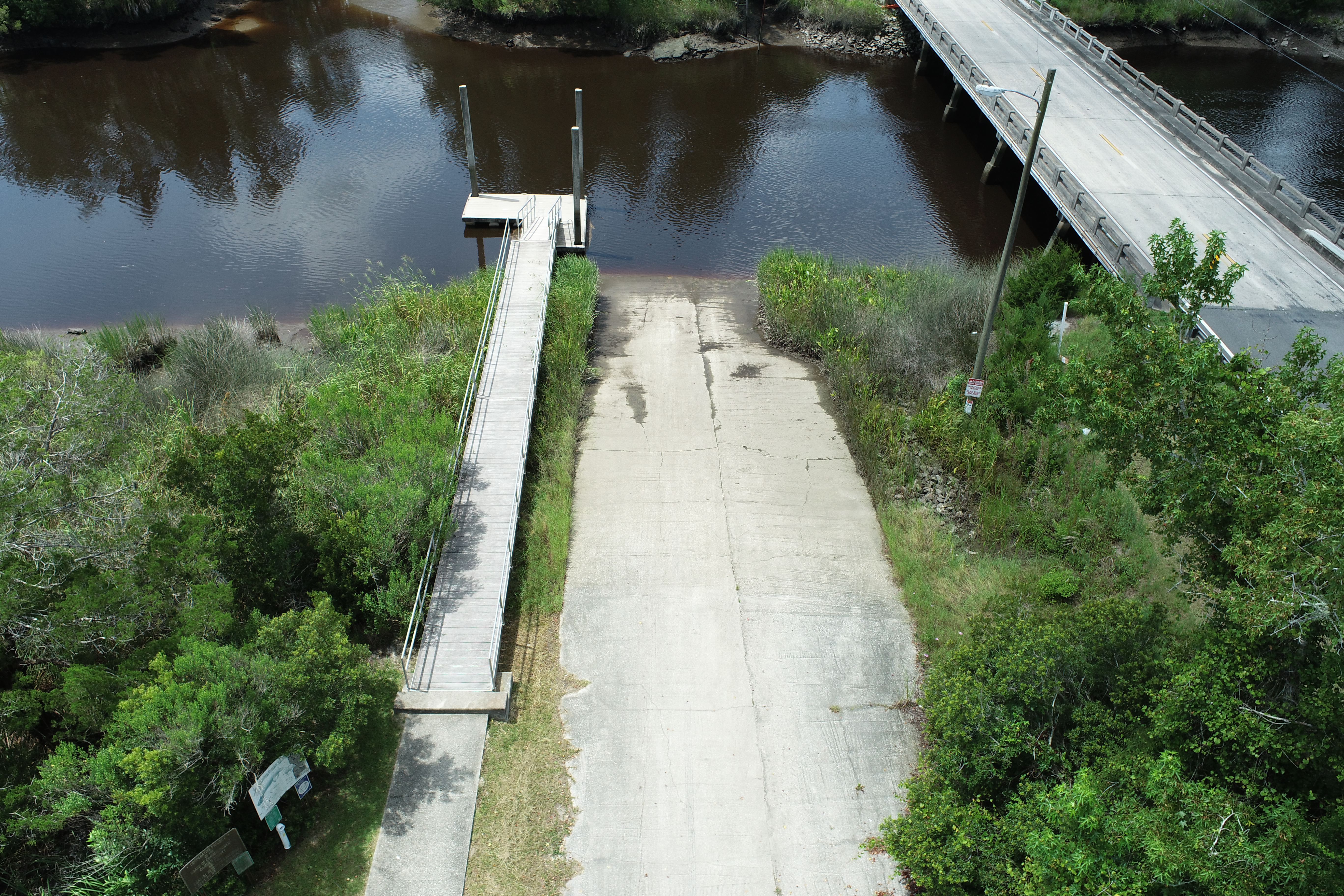
Travel West from I-95 Exit 14 for 2.3 miles to U.S. HWY 17. Turn right (North) 5.4 miles to White Oak Creek Bridge. Boat ramp located on right just past bridge. (One single-lane ramp).
Features:
- Paved Ramp
- Parking Dirt-Gravel
- Courtesy Dock
Georgia Outdoor Map
The Georgia Outdoor Map is an online interactive map with all of the Department of Natural Resources owned or managed resources. Think of this as a "one-stop shop" for planning your next trip to a DNR location.


