Driving Directions
Take Exit 90 east on GA HWY 144 for 6.6 miles to GA HWY SPUR 144. Turn left 3.7 miles to Fort McAllister State Park Entrance. Ramp located on left before entering Fort McAllister State Park. (One single-lane ramp)
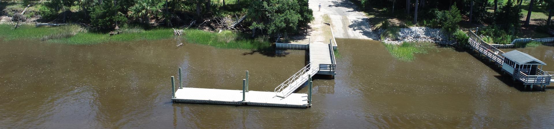
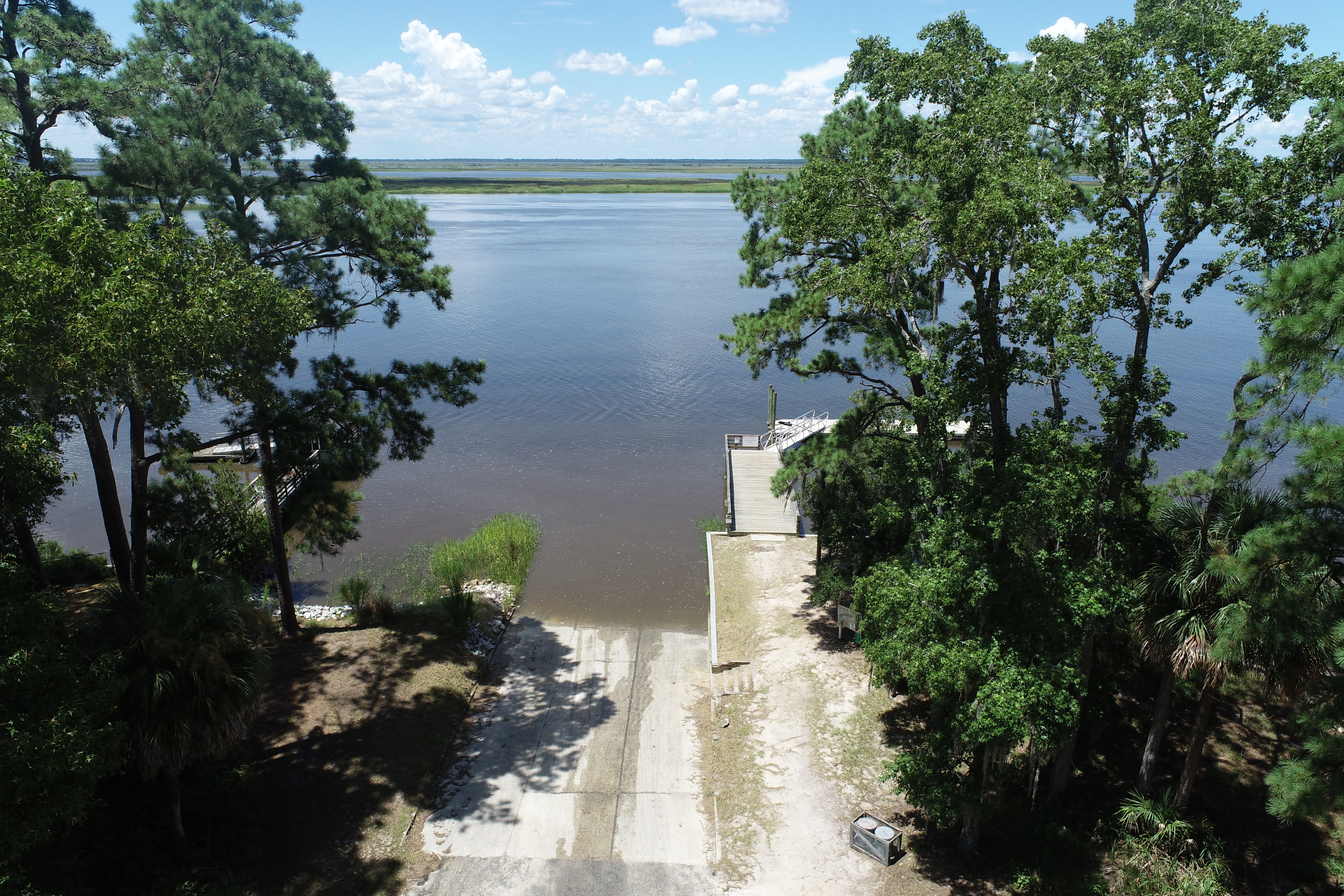
Features:
- Paved Ramp
- Parking Dirt-Gravel
- Courtesy Dock
Georgia Outdoor Map
The Georgia Outdoor Map is an online interactive map with all of the Department of Natural Resources owned or managed resources. Think of this as a "one-stop shop" for planning your next trip to a DNR location.